September 2022
New navigation page for projects
Geolocate and organize all your projects at once on the same map. Order projects easily by name, favorite, or date created. A new sidebar gives access to the main sections of your project: Design, Execution, and Results of your scenario optimizations.
CO2 Capture Technology candidates
Evaluate Technology candidates in your scenario optimization that are able to capture and/or emit CO2 in their operation. CO2 streams can also be modelled to consider more complex CCS (Carbon Capture and Storage) systems.
Upload and download geojson layers in/from the map
Add GIS datasets (geojson) with basic geometry, building, and infrastructure information to the map of your scenario. Download the same data (geojson) and the information included for each energy hub of your scenario.
Add building data (in Excel) to the map
Directly upload your own building data based on the EGID identifier from Excel to the GIS map of Sympheny.
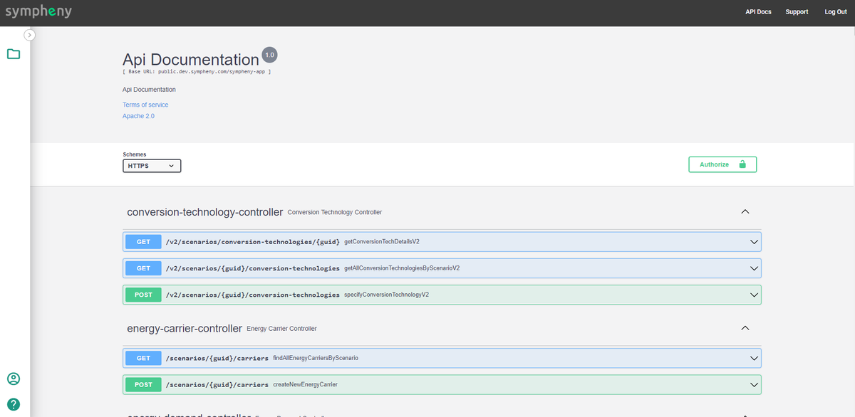
New API service
Integrate the Sympheny optimization engine and other services in your own software application.